


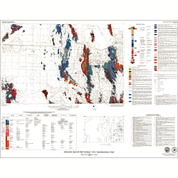

Geologic map of the Tooele 1x2 degree quadrangle, Utah (I-1132)
I1132
Unstocked
1:250,000 Geologic Maps
$10.00
By: W. J. Moore and M.L. Sorensen
Geologic maps use a combination of colors, lines, and symbols to depict the relative age, composition, and relationships among rocks and sediments at and near the earth's surface.
Other Information:
Published: 1979
Plates: 1 pl.
Scale: 1:250,000
Color/B&W: Color
Location: Davis County, Juab County, Salt Lake County, Tooele County, and Utah County