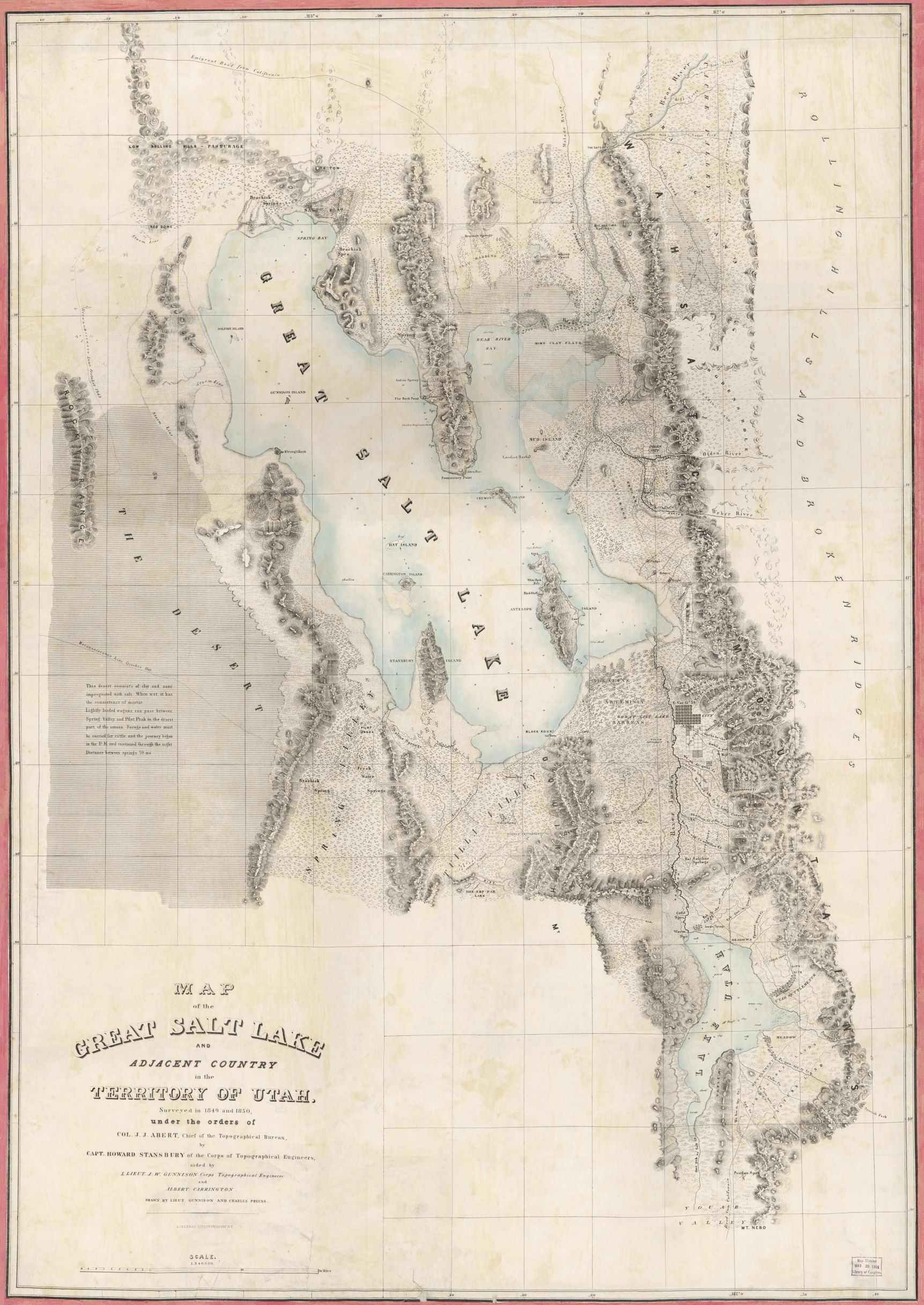
Great Salt Lake and Adjacent Country Historical Map 1850
UTAHHISTMAP11850
Unstocked
ma
$15.00
This historical map reprint, surveyed all the way back in 1849 and 1850, covers the Great Salt Lake and surrounding area of the Utah territory! Take a trip back in time to see our state through the eyes of the early pioneer settlers! Some place names will still be familiar and some will surprise you!
Dimensions: 36" x 50" (approximate)
Survey Date: 1849 & 1850


