


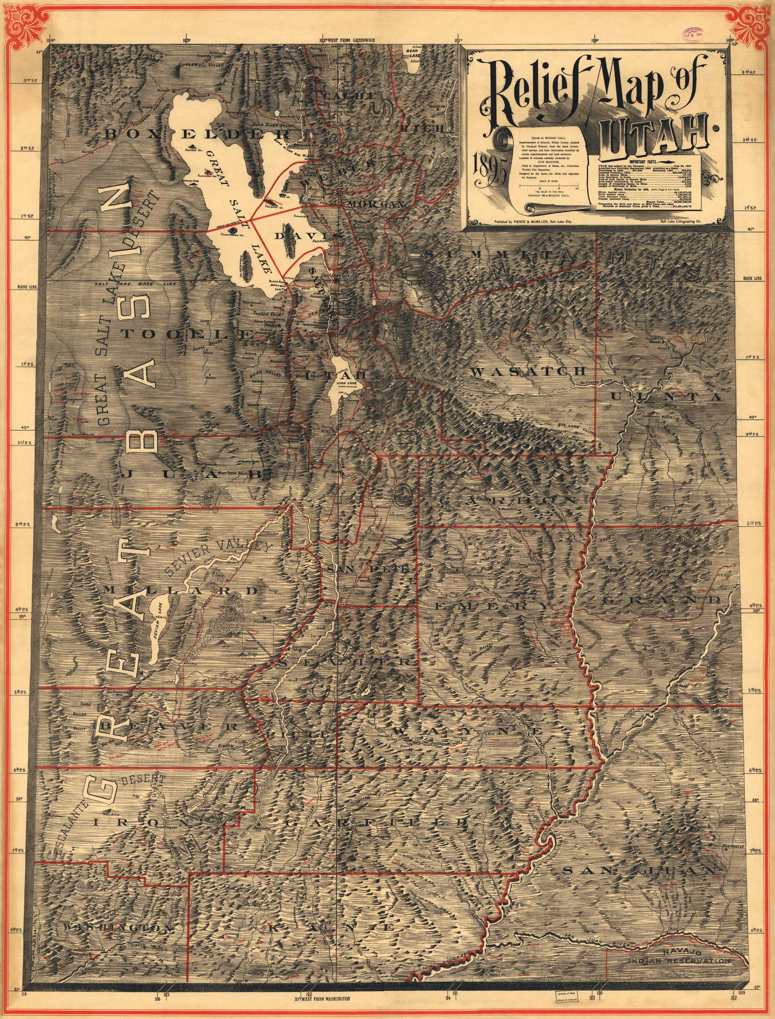

1895 Historical Relief Map of Utah
HISTRELIEFMAP-Paper
In stock
$15.00
First published over 120 years ago, the reprinted 1895 Relief map of Utah is a fantastic display of surveyed information that includes mineral locations throughout Utah, colloquial names of familiar places in the state, mineral production values at the time of the publication, and other interesting bits! One can only imagine the painstaking effort to create this map by hand in time without computers, satellites, or airplanes!
Surveyed Date: 1895
Dimensions: 36" x 47.25" (approximate)