


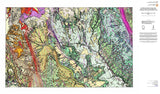
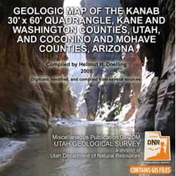

Geologic map of the Kanab 30'x60' quadrangle, Kane and Washington Counties, Utah and and Coconino and Mohave Counties, Arizona (MP 08-2dm)
MP-082
Unstocked
1:100,000 Geologic Maps
$12.95
By: H. H. Doelling, compiler
The digital dataset on this CD is a composite map compiled from Utah Geological Survey Bulletin 124, U.S. Geological Survey Map I-2655, and several smaller maps. GIS files are provided as an ESRI geodatabase and shapefiles. Metadata, PDF, text, and image files are included to help the user view, evaluate, and utilize the spatial data. Adobe Reader is required to view the PDF files. Specialized GIS software is required to utilize the GIS files.
Other Information:
Published: 2008
Plates: 2 pl.
Scale: 1:100,000
Includes GIS data
Location: Kane County and Washington County
Media Type: Paper Map