


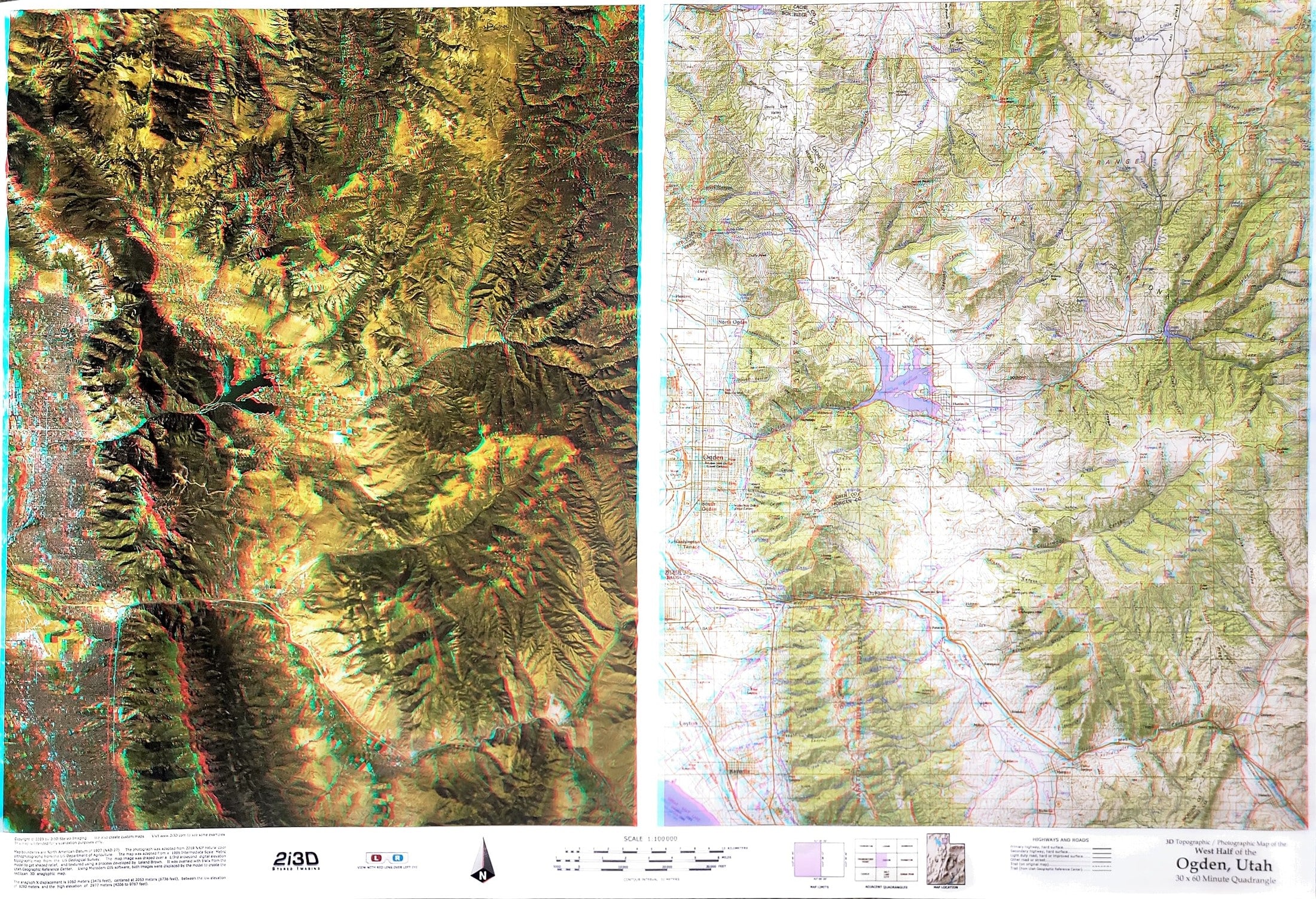

3D Topographic/ Photographic Map of the Western Half of the Ogden 30x60 Minute Quadrangle
This view of a northern part of the Wasatch Front is stunning. The 3D view of the western half of the Ogden 30 x0 60 map will bring a smile to your face.
To the casual observer, the maps in this book appear to be printed somewhat out of register, but when you put on a pair of red/cyan glasses, these same images emerge in eye-popping anaglyphic 3D, bringing the process of interpreting and understanding maps to a whole new level. As you examine the book, you will discover that each turn of the page reveals two views of the same area; the right page is part of a US Geological Survey topographic map, while the facing page is a color aerial photograph. When seen through the glasses, both show the peaks emerging above the page, while the canyons descend below the page surface. Together the pages in this book are an atlas of 39 detailed topographic maps accompanied by 39 aerial photographs, of which the maps and the photographs have been converted to anaglyphic 3D. Includes 2 pairs of 3d glasses