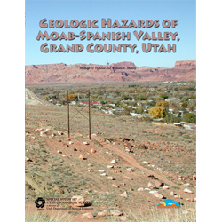
Geologic hazards of Moab-Spanish Valley, Grand County, Utah (SS-107)
By: M. D. Hylland, W. E. Mulvey, J. P. Johnson, digitizer, and M. Butler
Moab Valley and the contiguous Spanish Valley comprise a popular residential and recreational area in east-central Utah. Geologic processes that created the rugged and scenic landscape of Moab-Spanish Valley are still active today and can be hazardous to property and life. To address development in areas with geologic hazards, the Utah Geological Survey (UGS) conducted a geologic-hazards investigation to provide information to Moab City and Grand County to help guide development and reduce losses from geologic hazards.
This report includes maps of Moab Valley and the northern and central parts of Spanish Valley that provide information on geologic hazards to assist homeowners, planners, and developers in making informed decisions. The maps show areas where hazards may exist and where site-specific studies are advisable prior to development. The maps are for planning purposes only, and do not preclude the necessity for site investigations. Site-specific studies by qualified professionals (engineering geologists, geotechnical engineers, hydrologists) should evaluate hazards and, if necessary, recommend hazard-reduction measures. Because of the small scale of the maps, some hazard areas are not shown; hazard studies are therefore recommended for all critical facilities (for example, hospitals, schools, fire stations), including those outside the mapped hazard areas.
Other Information:
Published: 2003
Pages: 25 p.
Location: Grand County
Media Type: Paper Publication and CD-ROM


