


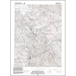
Interim geologic map of the Durst Mountain quadrangle, Morgan and Weber Counties, Utah (OFR-498)
By: J. C. Coogan and J. K. King
The Durst Mountain quadrangle is located east of Ogden, Utah. The major geographic features in and near the quadrangle are Ogden and Morgan Valleys, the northern Wasatch Range to the west, the Ogden River and its forks in Ogden Valley, the Weber River in Morgan Valley, and Cottonwood Canyon, cut by Cottonwood Creek, separating Elk Mountain from Durst Mountain. Ogden and Morgan Valleys formed due to Cenozoic extensional faulting along at least one margin of each valley, and the valleys are filled with probable Oligocene Norwood Formation tuffaceous, lacustrine, and fluvial sedimentary rocks.
Other Information:
Published: 2006
Pages: 30 p.
Plates: 1 pl.
Scale: 1:24,000
Location: Morgan County and Weber County
Media Type: Paper Map