


Interim geologic map of the Washington quadrangle, Washington County, Utah (OFR-324)
By: G. C. Willis and J. M. Higgins
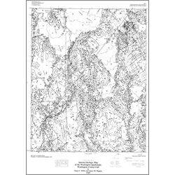
The Washington quadrangle is in the St. George basin near the southwest corner of Utah. It extends from the south flank of the Pine Valley Mountains southward to just north of the Virgin River. Strata are exposed in a gently northward- to northeastward-dipping homocline overprinted by a broad syncline. Information in this publication includes: description of map units, correlation of map units, a lithologic column, and a cross-section. This Open-File release makes information available to the public during the review and production period necessary for a formal UGS publication. This map may be incomplete, and inconsistencies, errors, and omissions have not been resolved. While the document is in the review process, it may not conform to UGS standards; therefore it may be premature for an individual or group to take actions based on its contents.
Other Information:
Published: 1995
Pages: 108 p.
Plates: 2 pl.
Scale: 1:24,000
Location: Washington County
Media Type: Paper Map