


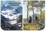
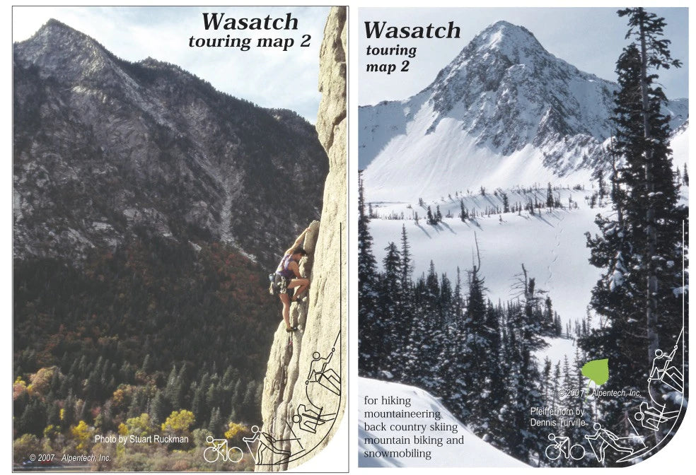

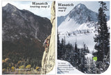
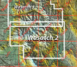
Wasatch Touring Map 2
WASATCH2
In stock
Hiking and Recreation Maps
$12.00
Hike, Bike, and Ski
This multi-season map covers the area between Alta-Snowbird-Brighton (North) to Sundance (South). The photo side features the Lone Peak panorama (super-poster 6) and a view down-canyon (super-poster 8). Many popular winter routes are shown and the map side includes hiking and bike trails from Brighton, Sandy and American Fork Canyon as well as from Heber and the Wasatch Mountain State Park. Alta, Snowbird, Brighton and Deer Valley are covered. The map is 1"=3000' scale, including six USGS quads revised by the U.S. Forest Service. (2002)