


![Paria Canyon, Kanab [Vermilion Cliffs NM, Grand Staircase-Escalante NM] (TI-859)](http://www.utahmapstore.com/cdn/shop/products/paria_compact.jpg?v=1597093308)
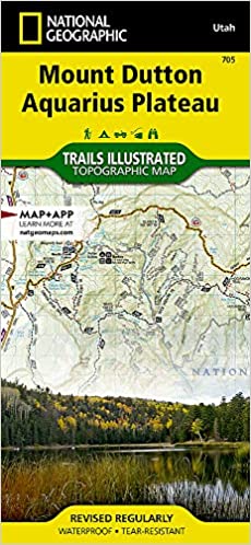
Mount Dutton Aquarius Plateau (TI-705)
National Geographic's Trails Illustrated map of the Mount Dutton Aquiarius Plateau region covers the spectacularly scenic stretch in southern Utah of the Powell and Escalante Ranger Districts of Dixie National Forest—from Bicknell Bottom State Wildlife Area in the Northwest to the town of Panguitch in the Southwest. Key features are the Great Western Trail, a corridor of braided trails that form the backbone of Utah's trail system, and the Fremont OHV Trail, with diverse terrain and scenery. The map also shows Red Canyon Recreation Area—where campers can explore the Red Canyon Rim Trail and canoe and fish at Greens Lake—and Box-Death Hollow Wilderness (aptly named referring to livestock that plunged to their death crossing the steep canyon), where visitors marvel at the vertical, orange, sandstone walls cut by tributaries of the Escalante River. Another attraction featured is Otter Creek State Park, a great getaway for birders (during spring and fall migrations), ATV riders, and boaters. Trout fishing is popular in the high alpine Otter Creek Reservoir. The dramatic dinosaur-backed Escalante Mountains and the majestic Aquarius Plateau, the highest in North America, are also mapped.
This area offers diverse outdoor recreation including hiking, camping, OHV, canyoneering, bicycling, fishing, hunting, climbing, and scenic driving.
Every Trails Illustrated map is printed on "Backcountry Tough" waterproof, tear-resistant paper. A full UTM grid is printed on the map to aid with GPS navigation.
Other features found on this map include: Black Butte, Bryce Canyon National Park, Dixie National Forest, Paunsaugunt Plateau, Pink Cliffs, Sevier Plateau.
Copyright 2016